Getting Around Calgary

Calgary Transportation
Calgary, Alberta, Canada

Getting Around Calgary

Everything you need to know to get around Calgary, Alberta, Canada

Getting around Calgary is easy with many transportation options to suit your time exploring the city.

Public transit, taxis, shuttles, rental cars, and limousines are great ways to get around during your stay. With extensive cycle paths and pedestrian walkways, Calgary is also a bike friendly and walkable city.

City Navigation 

Calgary is divided into four quadrants (N.W., N.E., S.W., and S.E.) with numbered streets and avenues laid out in a grid composing the downtown core. Numbered streets run north-south while numbered avenues run east-west. 

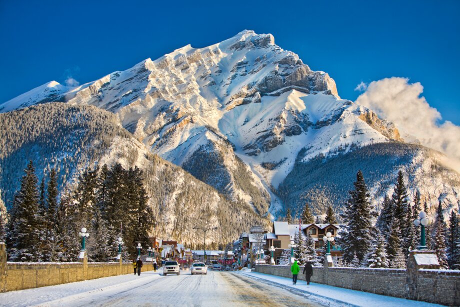
Snow tires are recommended in the winter months when using a rental or personal vehicle. 

Standard speed limits on Calgary roads are 50 kilometres an hour, unless otherwise posted. School zones and playgrounds have a special speed limit of 30 kilometres per hour during the hours indicated on signage.

You can find complete traffic reports and road closure information in Calgary or listen to 106.5 FM on your radio for up-to-date traffic advisories from the City of Calgary.

Within the city, traffic laws are enforced by the Calgary Police Service and photo radar that captures a photograph of speeding vehicles in certain areas of the city. There are also speed and red light cameras at several major intersections in the city, marked by a sign with a camera to advise motorists. Tickets resulting from photo radar are mailed to the registered owner of the vehicle and can be paid at Provincial Court or online. 

Find more information about Intersection Safety Cameras (ISC) in Calgary.

Supress from menu
No

Accessibility

Calgary is an accessible destination with services and infrastructure available so everyone can safely and comfortably explore the city. For more resources about accessible transportation, visit the Canadian Transportation Agency's Accessible Transportation page and the City of Calgary’s Accessible Services and Programs listing. You can also refer to Travel Alberta's Accessibility Guide or download the Pedesting app to help navigate accessible routes.

Supress from menu
No

Walking

The downtown core is very walkable, with plenty of wayfinding signage to guide you to attractions, restaurants, and public art. The Plus 15 corridors connect several hotels, attractions, shopping centres, and buildings to allow pedestrians to travel indoors throughout the city centre. The City of Calgary provides updated information on the +15 system, including construction notices and maps. 

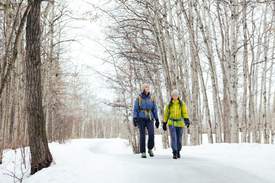
Sidewalks in Calgary are very wide, allowing for pedestrians to enjoy a luxurious experience as they walk through the city. During the winter months, be aware of patches of ice and snow, which can cause you to slip. 

Supress from menu
No

Transit & Bus Service

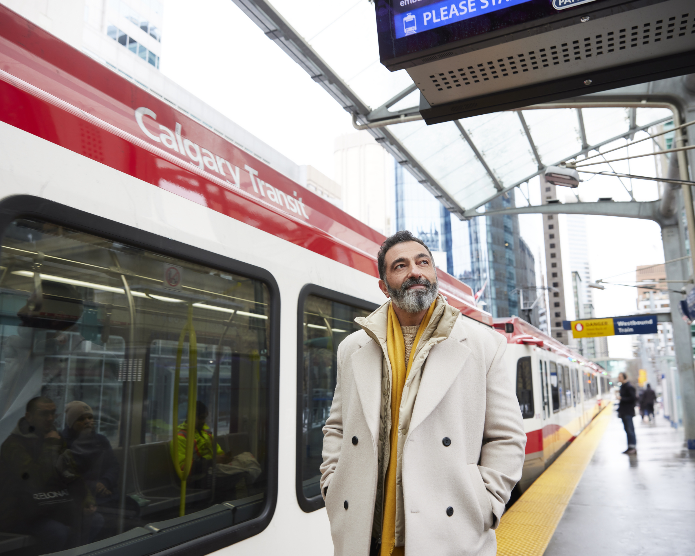
Calgary’s public transit network consists of buses and two Light Rail Transit (LRT) lines, known as the CTrain. Tickets and passes can be purchased with cash or credit card at all CTrain stations, with cash on the bus (change is not given), or at numerous drug stores, grocery stores, and convenience stores across the city. Fares are valid for 90 minutes; passes are valid for one day. Fares for adults are $3.60 ($11.25 for a day pass); fares for youth (6-17) are $2.45 ($8.25 for a day pass); children five and under are free. It is free to ride the CTrain throughout the downtown core between City Hall Station and Downtown West/Kerby Station on either line and in any direction, but proof of fare must be carried as soon as a train departs the 7th Avenue Free Fare Zone. You must carry proof of purchase with you on the CTrain, and it is recommended to ensure you receive a transfer from any bus driver if transferring to the CTrain on your trip. Transit routes operate on varying schedules throughout the city. For complete information and to plan a trip, visit Calgary Transit, or use Google Maps, which is completely integrated with Calgary’s transit system.

The following transit providers serve the areas near Calgary:

  • Airdrie Transit (service to and throughout Airdrie & surrounding area, including CrossIron Mills)
  • On-It Regional Transit (Commuter service between Calgary and Okotoks, Turner Valley, Black Diamond, High River; summer service to Banff and Canmore) 
  • ROAM Transit (service in the Bow Valley, including Banff, Canmore, and Lake Louise)
Supress from menu
No

Tours & Shuttles

Explore everywhere from downtown Calgary and Banff to Dinosaur Provincial Park and Head-Smashed-In Buffalo Jump. Find a tour or shuttle that is right for you as you explore Calgary and beyond.

Supress from menu
No

Getting Around by Scooter & Bike

Calgary has the most extensive urban pathway and cycle path network in North America, with approximately 850 kilometres of regional pathways and 95 kilometres of trails. Bike lanes run against many major streets in Calgary, including 12 Avenue SW, 8 Avenue SW, and 5 Street SW in the city centre. The popular dock less scooter and bike sharing programs Bird and Neuron are available in Calgary. Users can download the mobile applications, locate, and rent bikes starting at $3.50.

Several rental companies provide convenient ways to explore the city by bike, including Joe's Garage, Bow Cycle, and Sports Rent. You can start exploring Calgary by bike with these resources:

Supress from menu
No

Taxi, Limousine, and Ride Sharing

Taxis charge a base rate between $3.80 and $4.50. Most services have online and mobile booking apps and most cabs accept credit, debit, and cash. 

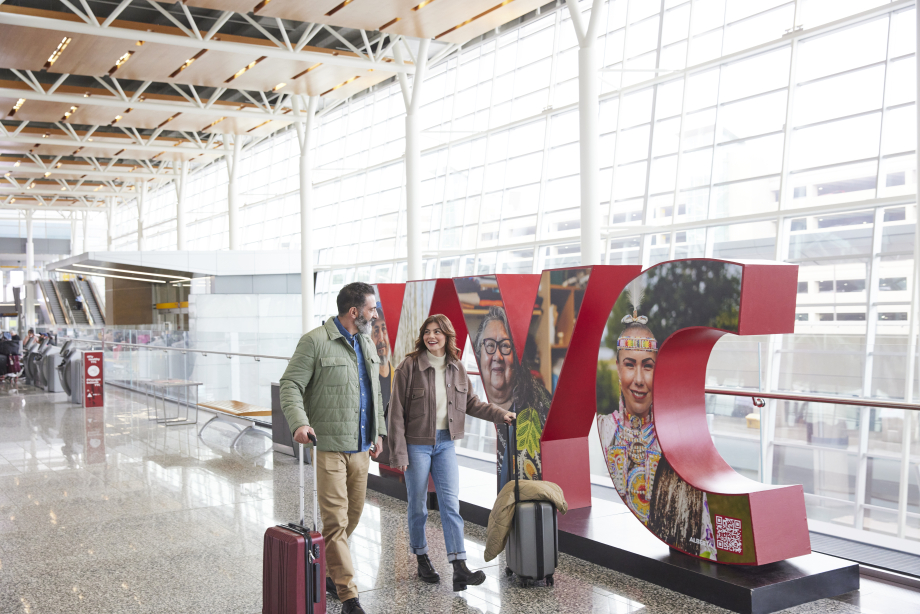
Limousines and luxury sedans are a great way to begin your stay in Calgary. The approximate fare from YYC Calgary International Airport to downtown under normal driving conditions is between $40 to $45. Traditional limousines are also available for general transportation and special occasions from several organizations in the city.

Tipping drivers 10-15 per cent of the total cost of your cab or limousine ride is customary in the area.

Ride sharing is a convenient mode of transportation with several organizations offering the digital service in Calgary. Download the Uber or TappCar (a regional ride share program) mobile applications to book a ride on the spot from a local driver. Memberships from other cities are usually valid for these services in Calgary.

Supress from menu
No

Car Rentals & Car Sharing

Rental cars are available in a variety of sizes and for any duration you wish in Calgary. Rental offices are located throughout Calgary, with a cluster of car rental desks at YYC Calgary International Airport and throughout downtown Calgary, though you should be able to rent a car in almost any area of the city.

All car rental companies in Canada have a minimum driving age to rent a vehicle within Canada. The most common minimum age is 21 or 24 years old, except in Saskatchewan which has a minimum age of 18. Often, drivers under the age of 25 are not eligible to rent such vehicles as luxury cars, SUVs, or minivans. You should check with the rental car company to learn of their individual policy.

Supress from menu
No

Parking

Most parking in the downtown core is paid. Lower rates apply on evenings after 6:00 p.m. and on weekends in private parking garages and lots. Street parking is free after 6:00 p.m., on Sundays, and on designated holidays.

Park Plus machines accept credit cards. Some accept change, but these machines do not accept debit cards. Park Plus is administered by the Calgary Parking Authority, who oversee street parking and several lots around the city, including at several attractions including the Wilder Institute/Calgary Zoo and TELUS Spark Science Centre. You can find Park Plus facilities by locating a large green P where the lot is located.

Calgary has ample parking in every area of the city and rates fluctuate based on location, time of year, and type of lot. Expect to pay slightly more to park at private facilities, such as office towers downtown. Parking fees may fluctuate when parking in areas adjacent to major events (e.g. during a concert at the Scotiabank Saddledome, parking lots around the event may charge a premium for parking). Calgary Parking Authority has created a dedicated parking guide for visitors.

Supress from menu
No

RV Travel

Getting around Calgary in an RV is easy when you plan your route and are aware of which quadrant of the city you are travelling in. RV friendly routes with multiple lanes and clearly marked exits make it easy to navigate the city: Stoney Trail (Highway 201), Deerfoot Trail (Highway 2), Glenmore Trail, and 16th Avenue NE & NW. 

Find more information on RV'ing in the city including where to park and find services specific for RVs and trailers in the city. 

Supress from menu
No

Highways and Roads

A basic understanding of the major highways and freeways in Calgary is a great way to start navigating the city. Stoney Trail is a ring road freeway around the city. Deerfoot Trail is a north-south freeway and the major artery in Calgary. Glenmore Trail is an east-west freeway and Crowchild Trail is a major freeway flowing north-south on the west side of the city.

When travelling in neighbourhoods, expect similar street names related to the district you are exploring. For example, in Cedarbrae, expect street names like Cedarpark Drive, Cedarpark Gate, and Cedarpark Green, making it important to note the full name of the street in any GPS system. 

Supress from menu
No

Licensing and insurance

All drivers in Alberta are required to have a valid driver's license and proof of insurance. Drivers visiting Alberta may drive a standard passenger vehicle with a valid driver's license from their home jurisdiction, as long as the license is equal to or higher than a Class 5 license in Alberta. For drivers whose license is not in English, it is recommended to carry an International Driver's Permit, which can be obtained from your home jurisdiction. Both should be carried when visiting Alberta. 

Supress from menu
No